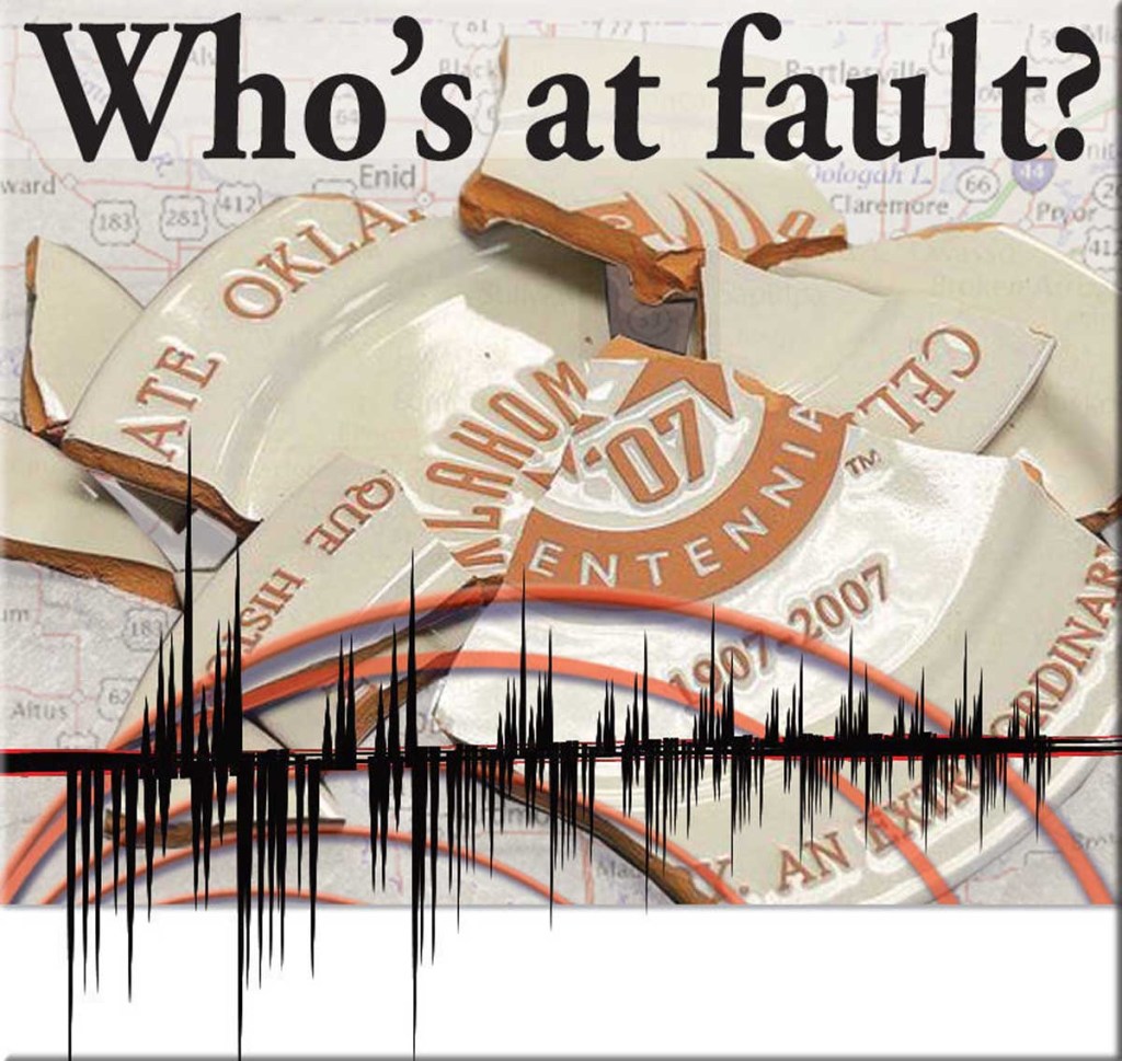
Who’s at fault? Scientists search for answers as earthquakes in state increase
Published 6:59 am Sunday, September 6, 2015
- Earthquakes in Oklahoma
EDITOR’S NOTE: This is the first installment of a six-part series on earthquakes. The second installment of this earthquake series runs Sunday, Sept. 13, 2015.
ENID, Okla. — In northwest Oklahoma, some scientists are digging for seismic answers as fervently as wildcatters have drilled for black gold during boom times.
Published literature left in dust-covered library bins for decades now is considered invaluable to scientists studying Oklahoma’s earthquakes. Meanwhile, oil companies now are providing proprietary data on faults gathered through exploration, according to U.S. Geological Survey geophysicist George Choy.
MORE STORIES
History of faults dates back millions of years
Do weather conditions impact quakes?
When it comes to earthquakes, only Alaska surpasses Okla.
In turn, the data is being used by Oklahoma Corporation Commission to regulate the oil and gas industry after wastewater injection was pinpointed as a cause for the increased seismicity. Scientists now know there is a link between injection wells and faults but have yet to get to the bottom of why some injection wells are linked to earthquakes and others are not.
Who’s at fault?
“We’ve put ourselves on record saying that there was relationship to the injection of wastewater in deep wells and into the basement, and that’s about as far as we can go right now, because we haven’t been able to really localize that and say, ‘It’s these faults, it’s these faults,’” Oklahoma Geological Survey Director Jeremy Boak said. “We know it’s certain faults in certain orientations that are properly aligned with the stress field occurring in Oklahoma, and they’re the ones that move. Most of those are small faults.”
‘Fits and spurts, little bursts’
One certainty is the increase in earthquakes in the state.
Between 1978 and 1998, Oklahoma averaged fewer than two earthquakes a year, according to U.S. Geological Survey records. The following decade, fewer than three magnitude 3.0 or greater earthquakes were recorded each year, until numbers climbed significantly in 2009.
Since 2009, numbers have elevated, with the state surpassing a 2014 record of earthquakes larger than 3.0 magnitude in August this year, OGS records indicate.
“I think the growth of the rise of earthquakes over the past few years has been something close to exponential, that is, it increases by a certain percentage every month or so,” Boak said. “But, actually, what it has tended to do is to go in fits and spurts, little bursts, and then slows down and then accelerates.”
Boak said he believes the state will go well past the 2014 record, unless the situation changes “surprisingly” in the next few months.
Choy noted a sizable body of research correlates the onset of massive injection well activity with the onset of earthquakes.
“There are also a number of papers describing the feasible mechanisms by which injected fluids can cause earthquakes. These mechanisms involve changes in stress caused by injected fluids on pre-existing but previously inactive faults,” Choy said.
Map quest
Most geological faults in Oklahoma have been inactive for millions of years, Choy said.
“Only a few faults near active injection wells have become active,” he said. “The majority of wells have not been associated with seismic activity. Scientists are trying to identify the factors that resulted in induced activity for some wells.”
Boak said some of the densest areas of faulting are not really seismically active, while some of the seismically active areas do not have a lot of mapped faults.
“Because these are relatively small faults and they’re not breaking all the way to the surface, it can be challenging to identify them. Some of them we’re identifying, in part, because there are earthquakes. We know that when an earthquake happens, there’s a fault movement. We’re actually identifying new faults in part by the occurrence of the earthquakes,” Boak said. “That’s not uncommon. I mean, the crust of the earth is pretty well broken up, and there’s plenty of old fractures that could be remobilized as faults, when you get down into that basement rock.”
USGS can only ascribe an earthquake to a fault if the earthquake is accurately located, Choy said.
“The more stations we have, the better the location. Assuming we have a good location, a nearby fault can be associated with the earthquake,” he said. “However, most faults are still not known. Sometimes, if earthquake locations line up, we can identify a fault by the linear pattern. The spatial distribution of earthquakes also gives us an idea of the rupture length. This would be a ‘new’ fault in the sense of being newly discovered.”
Choy said it may be an exaggeration to say more faults are being discovered in Oklahoma.
First, scientists are studying literature and geological maps published decades ago, he said.
“It is one example of the value of pure research; we never know how data gathered today will be used in the future,” Choy said. “Second, oil companies — which have had proprietary data on faults from exploration — have slowly started making some of their data available.
“Earthquake patterns can be used to identify a fault that has not yet been mapped. So in that sense, it has been discovered.”
‘Still investigating’
When it comes to new faults, Choy said intact rock will not break on its own unless intense stresses build up and exceed the strength of the rock.
“Faults develop naturally over hundreds of thousands of years in tectonically active regions,” he said. “Oklahoma is not near a plate boundary, so tectonic forces are insignificant. Occasionally, for reasons we are still investigating, in the mid-continent, stress may build up locally and result in an earthquake. This is rare but does happen in the mid-continent, (for example) the New Madrid region.”
Boak noted four of the strongest earthquakes in American history were in the New Madrid region, in Missouri and southern Illinois, in 1811 and 1812.
“So, there are these areas inside the major plates that can be seismically active. And these are more related to those kind of faults than to the major plate boundaries,” Boak said.
Smaller earthquakes produce smaller signals, Choy said.
“That means in order to record it, an instrument must have been deployed fortuitously close to the event. This requires increasing the number or density of stations,” Choy said. “However, due to realistic budgetary and limited human resources, we cannot instrument every single square mile of the state. We could prioritize deploying instruments about wells and active faults rather than at any random spot.”
There has been a fair amount of discussion about if there could be a cap on the size of earthquakes the moving faults might produce, Boak said.
“It’s probably bigger than most of the ones we’re getting,” Boak said. “But there’s still an open question. An awful lot of good seismologists really think we may never have an answer to the question of whether the Prague earthquake, which was a fairly substantial earthquake, whether that was a natural earthquake or whether that was part of this pattern of induced seismicity. We haven’t developed a good model that says, ‘This is how you would tell them apart.’”
The Prague earthquake in November 2011 measured magnitude 5.6 and was the largest earthquake in recorded history in Oklahoma.
Having trouble loading the map? Try this link.